Live fire restrictions
Source-linked U.S. Forest Service and BLM public-land status, refreshed daily.
 Campfire MapFire restrictions. Better trips.
WESTERN U.S. PUBLIC LANDS
Current fire restrictions, real conditions, and tools to track your favorite dispersed sites — all in one map for Western U.S. public lands.
Open the MapFree to use. No account required.
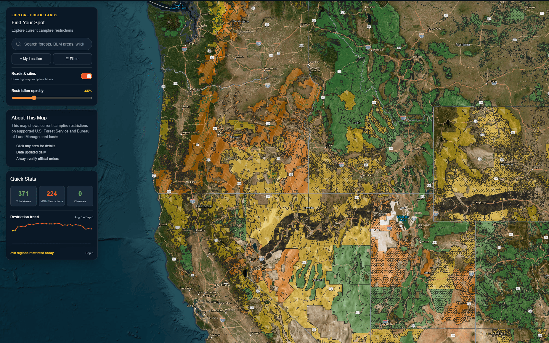
Source-linked U.S. Forest Service and BLM public-land status, refreshed daily.
Keep campsite notes and current conditions together in your private planner.
Compare weather, precipitation, wind, air quality, and active alerts.
Use one map to understand restrictions before planning your next trip.
Current coverage
11 Western states Source-linked public-land dataLast updated
Oct 1, 2026 Published restriction statusPLAN SMARTER
Check current fire restrictions across U.S. Forest Service and BLM lands, then keep the campsites you care about in one place.
RESTRICTION DATA
We publish source-linked U.S. Forest Service and Bureau of Land Management restriction data so you can check conditions before your trip.
Official agency sources
YOUR PLACES, YOUR NEXT TRIP
Keep your go-to campsites in one place and see current restrictions and conditions before you head out.
Save a siteBoise National Forest, ID
Fremont-Winema NF, OR
BLM public lands, CA